I-80 San Francisco Bay Area
Caltrans traffic snapshots from US-101 in San Francisco across the Bay Bridge to the Carquinez Bridge south tower.
Route Condition Guide
Key checkpoints, mountain passes, and driving considerations.
Follow I-80 east from San Francisco over the Bay Bridge, then north through the East Bay past Berkeley, Richmond, and Pinole toward the Carquinez Bridge. Cameras show selected mainline, ramp, and bridge views along the route.
Interactive Route Map
Roadside camera locations along the I-80 San Francisco Bay Area corridor.
Sequential Highway Webcams
Sequential cameras along the travel corridor in order of route progression.
-
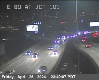 I-80 US-101
-
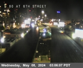 I-80 6th Street
-
 I-80 Fremont
-
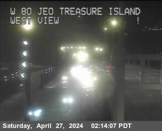 I-80 Before YBI Tunnel
-
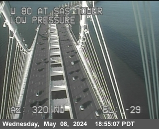 I-80 Bay Bridge SAS Tower East
-
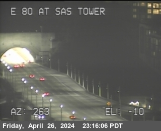 I-80 Bay Bridge SAS Tower West
-
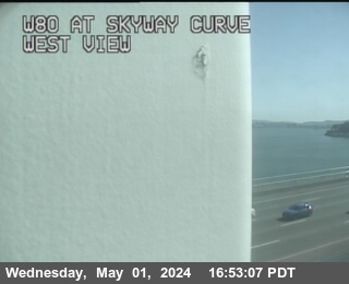 I-80 Skyway Curve
-
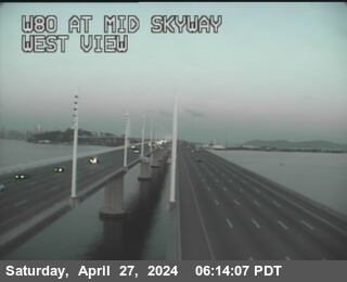 I-80 Mid Skyway
-
 I-80 Leaving Bridge
-
 I-80 Before Toll Plaza
-
 I-80 SFOBB at Incline
-
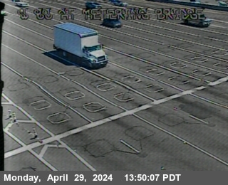 I-80 Metering Bridge
-
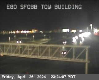 I-80 Sfobb Tow Building
-
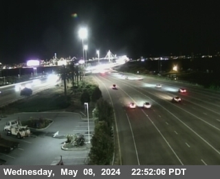 I-80 SFOBB METERING DOWNSTREAM
-
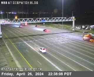 I-80 Dispatch Blvd
-
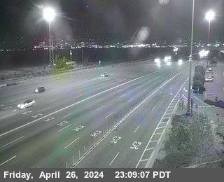 I-80 Toll Plaza
-
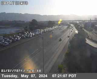 I-80 EBMUD
-
 I-80 Powell Street
-
 I-80 Ashby Avenue Onramp
-
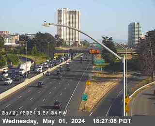 I-80 Ashby
-
 I-80 University Avenue
-
 I-80 Gilman Street
-
 I-80 Gilman Street Offramp
-
 I-80 Buchanan Street West View
-
 I-80 AT WOF Albany OR
-
 I-80 Central Avenue Onramp - Looking East
-
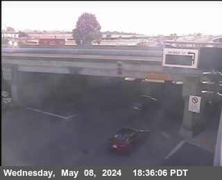 I-80 Central Avenue Onramp - Looking West
-
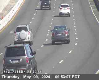 I-80 E80 at Potrero Av
-
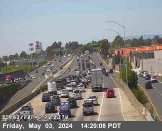 I-80 AT JWO CUTTING BL
-
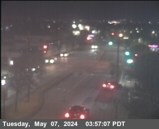 I-80 San Pablo Dam Road Offramp - Looking West
-
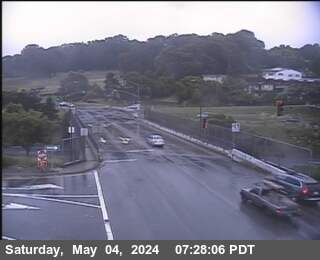 I-80 San Pablo Dam Road Offramp - Looking East
-
 I-80 Hilltop Drive
-
 I-80 E80 at Hilltop Dr
-
 I-80 Just East Of Hilltop Drive
-
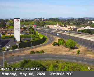 I-80 Richmond Parkway
-
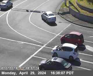 I-80 Richmond Parkway
-
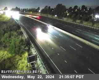 I-80 East Of Richmond Parkway
-
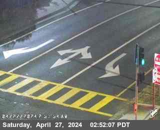 I-80 Appian Way
-
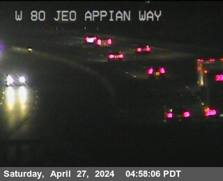 I-80 Just East Of Appian Way
-
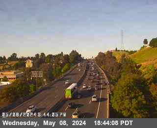 I-80 Pinole Valley Road
-
 I-80 Pinole Valley Road
-
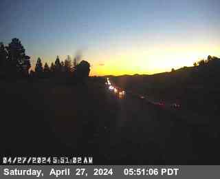 I-80 Before Pinole Valley Road
-
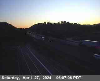 I-80 Before Sycamore Avenue
-
 I-80 Willow Avenue
-
 I-80 Willow Avenue Onramp
-
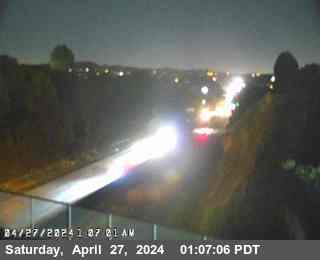 I-80 Just East Of Willow Avenue
-
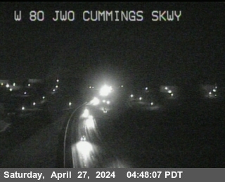 I-80 Just West Of Cummings Skwy
-
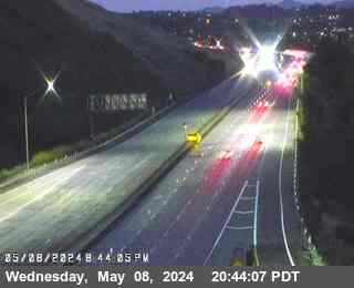 I-80 Cummings Parkway Onramp
-
 I-80 JEO CUMMINGS PKWY
-
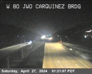 I-80 Just West Of Carquinez Brdg
-
 I-80 South Tower
Official Source & Transparency
Data provided by public highway authorities and open transport APIs.
Camera streams and snapshots on this corridor are supplied by Caltrans. For emergency highway closures, chain restrictions, or real-time road conditions, visit the official agency portal at https://quickmap.dot.ca.gov/.